x
Beijing is the capital of People’s Republic of China. The word ‘Beijing’ means ‘Northern Capital’ and the name was given in 1403 with an ancient history of almost 3000 years old. Second largest after Shanghai, Beijing is the most populous city in the world. You can find beautiful gardens, temples and palaces scattered throughout the city which covers an area of 16,801 sqm with a population over 21 million people.
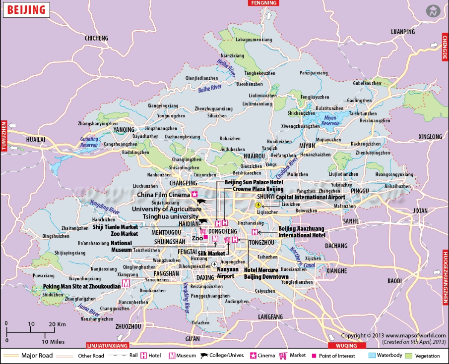
Located at the head of the North China plains, Beijing has an average elevation of only 43.5m. It occupies a strategic position between the northern plains and the Mongolian plateau. The city has highlands to the north, northwest and west, while the southern side is lower. The Great Wall of China lies in the northern part of the city.
There are more than 200 rivers and streams flowing through the city. Five major rivers are identified. These are Yongding River, Chaobai River, Beiyun River, Juma River and Ju River.
The city has a humid continental type of climate influenced by the monsoon winds. Summers in the city are hot and humid, while winters are cold and dry.
Copyright© ChinaFishShow.org All rights reserved.